flutter_polyline_points_plus 3.0.0  flutter_polyline_points_plus: ^3.0.0 copied to clipboard
A flutter package to get polyline points by either passing the coordinates or google encoded polyline string
This repository is a fork of the original flutter_polyline_points plugin, which provides functionality to decode encoded Google Polyline strings into a list of geo-coordinates. The purpose of this fork is to ensure that the plugin remains up-to-date, as the original author has not maintained it anymore. Thanks @shkvoretz for Flutter SDK upgrading.
flutter_polyline_points #
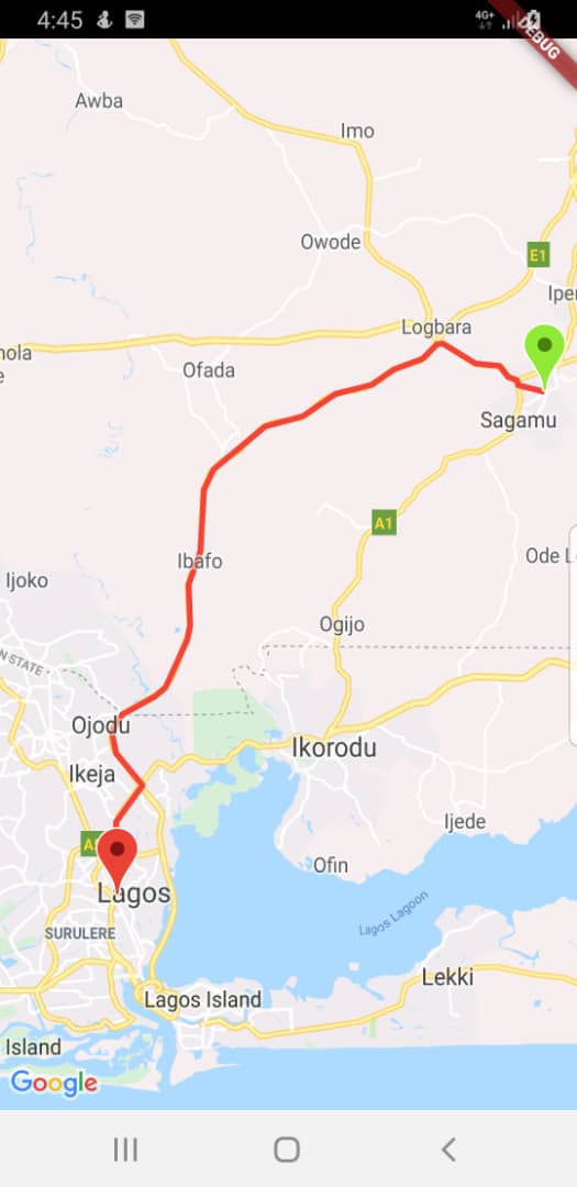
A flutter plugin that decodes encoded google polyline string into list of geo-coordinates suitable for showing route/polyline on maps
Getting Started #
This package contains functions to decode google encoded polyline string which returns a list of co-ordinates indicating route between two geographical position
Usage #
To use this package, add flutter_polyline_points as a dependency in your pubspec.yaml file.
Import the package #
import 'package:flutter_polyline_points/flutter_polyline_points_plus.dart';
First method #
Get the list of points by Geo-coordinate, this return an instance of PolylineResult, which contains the status of the api, the errorMessage, and the list of decoded points.
PolylinePoints polylinePoints = PolylinePoints();
PolylineResult result = await polylinePoints.getRouteBetweenCoordinates(googleAPiKey,
        _originLatitude, _originLongitude, _destLatitude, _destLongitude);
print(result.points);
Second method #
Decode an encoded google polyline string e.g _piFps|U_ulLnnqC_mqNvxq`@
List<PointLatLng> result = polylinePoints.decodePolyline("_p~iF~ps|U_ulLnnqC_mqNvxq`@");
print(result);
See the example directory for a complete sample app
Hint #
kindly ensure you use a valid google api key,
If you need help generating api key for your project click this link
